Access the Boston Freedom Trail Map in PDF format By clicking here
This map of the Freedom Trail is more than a simple navigation tool; it is a visual guide to one of the most important historical narratives in the United States. At first glance, the map appears straightforward, a roughly 2.5-mile route winding through Boston, but a closer look reveals that it is carefully designed to tell a chronological story, connecting places, events, and people into a coherent journey through the past.
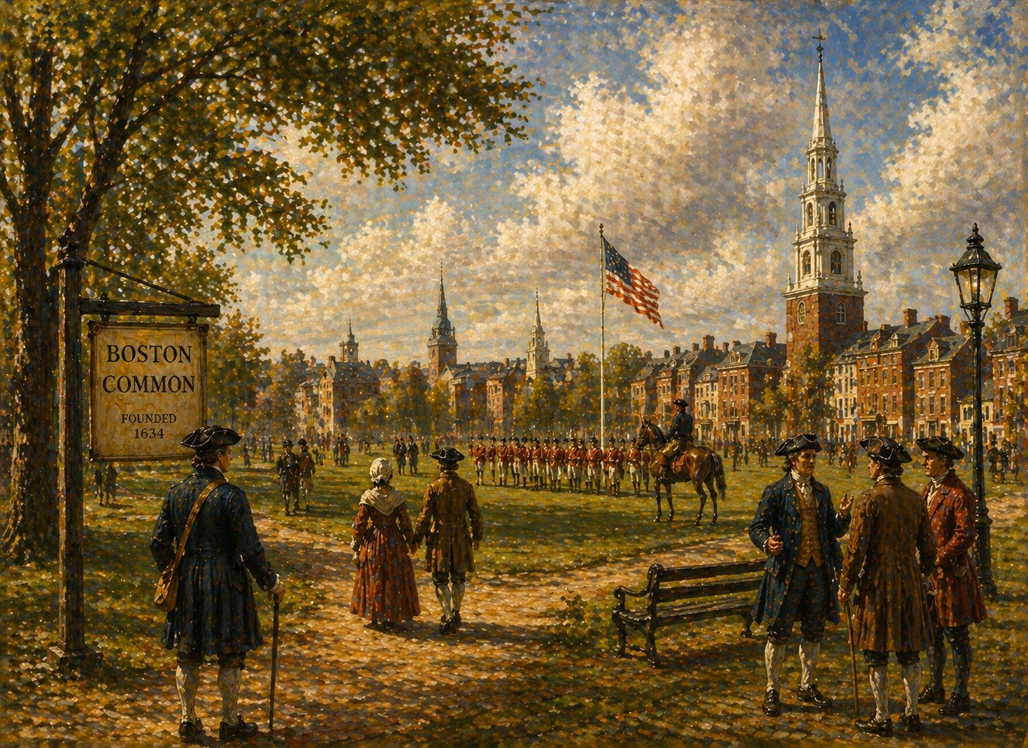
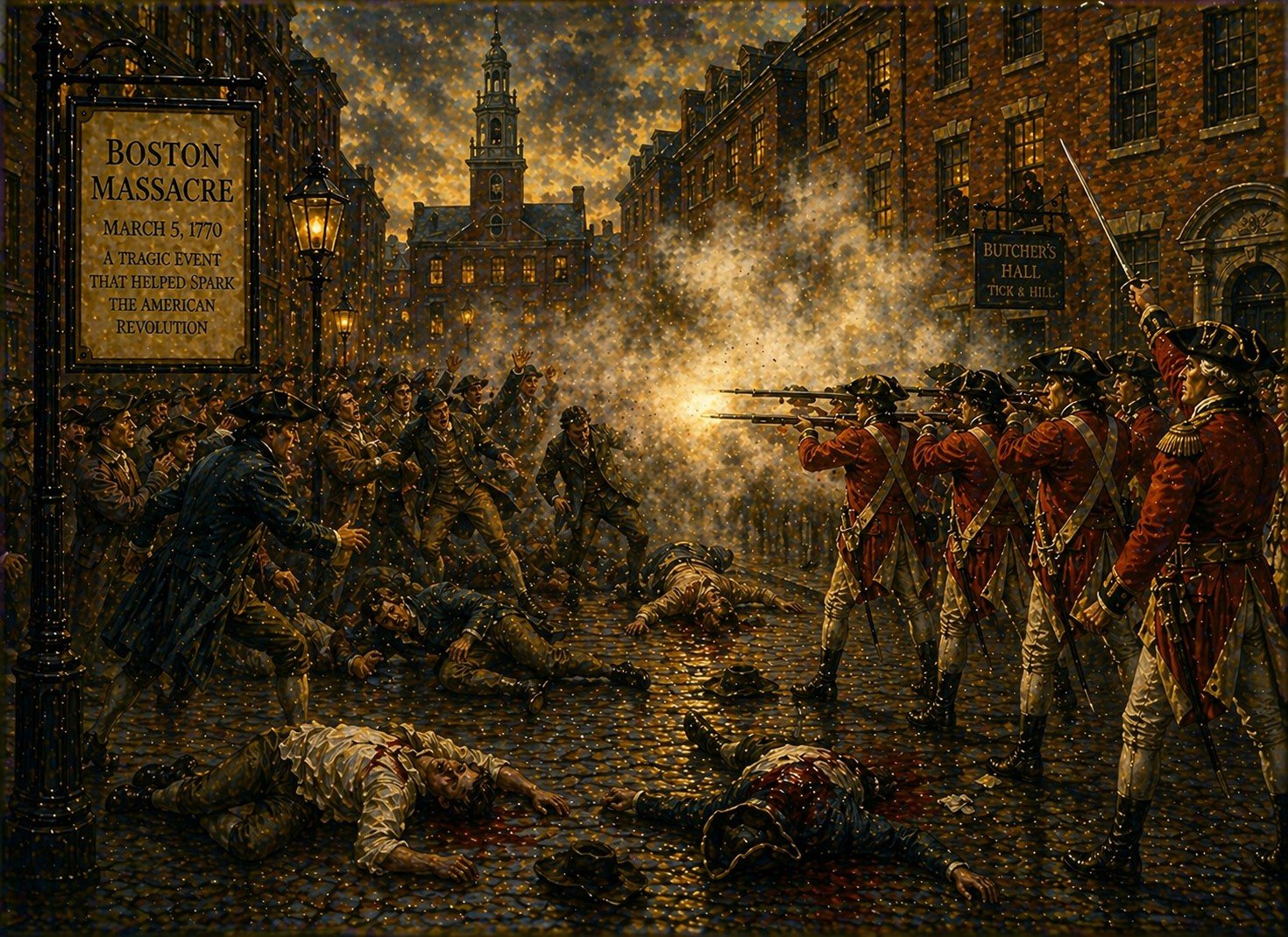
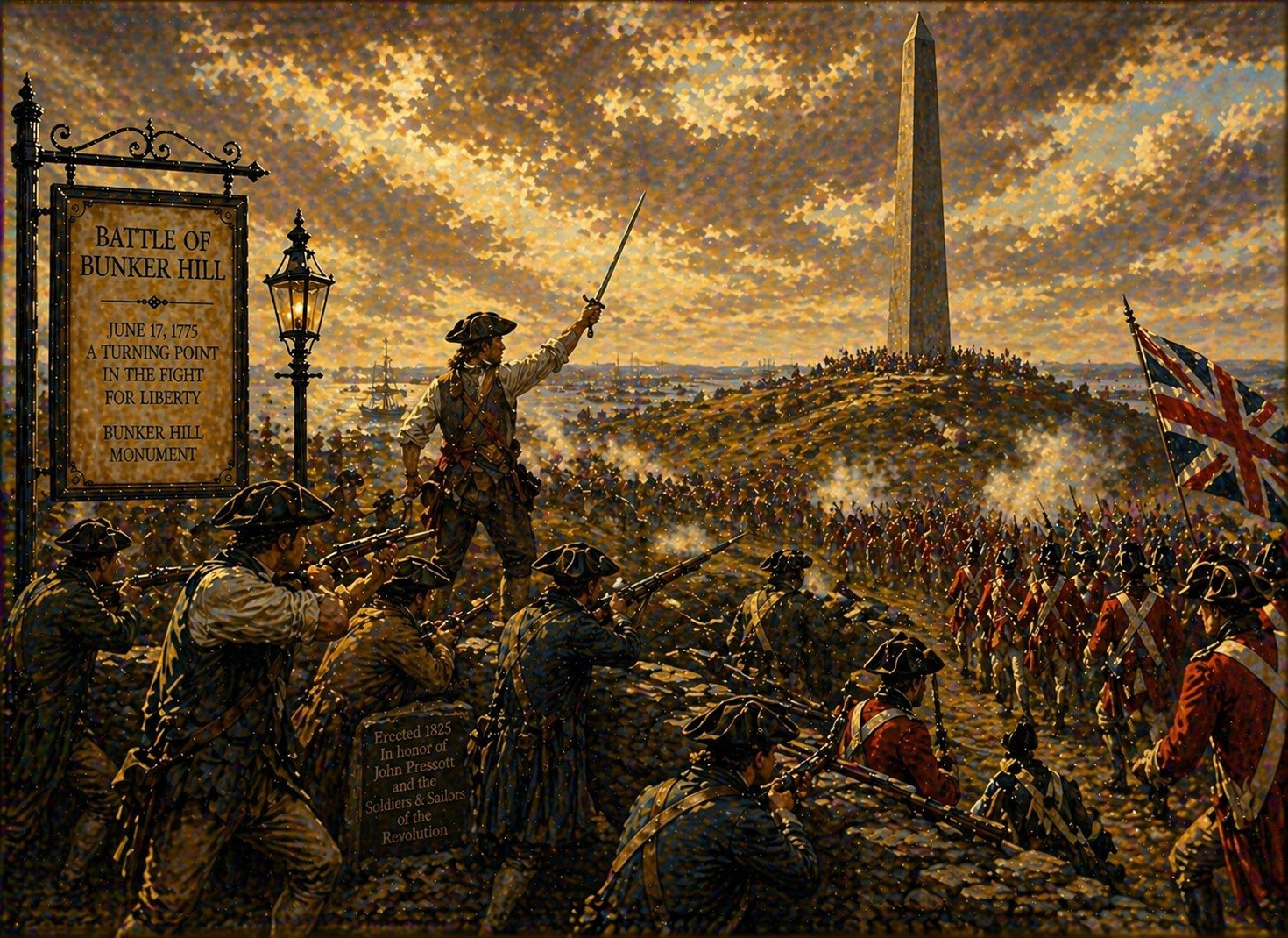
The defining feature of this Freedom Trail map is the route itself, depicted as a bold red line. This line mirrors the physical red brick path embedded in Boston’s streets, making it easy for visitors to translate what they see on paper or on a screen into the real-world environment. The path begins at Boston Common and ends in Charlestown at the Bunker Hill Monument and the USS Constitution. The progression from one end to the other reflects the shift from colonial unrest to the defense of a newly independent nation.
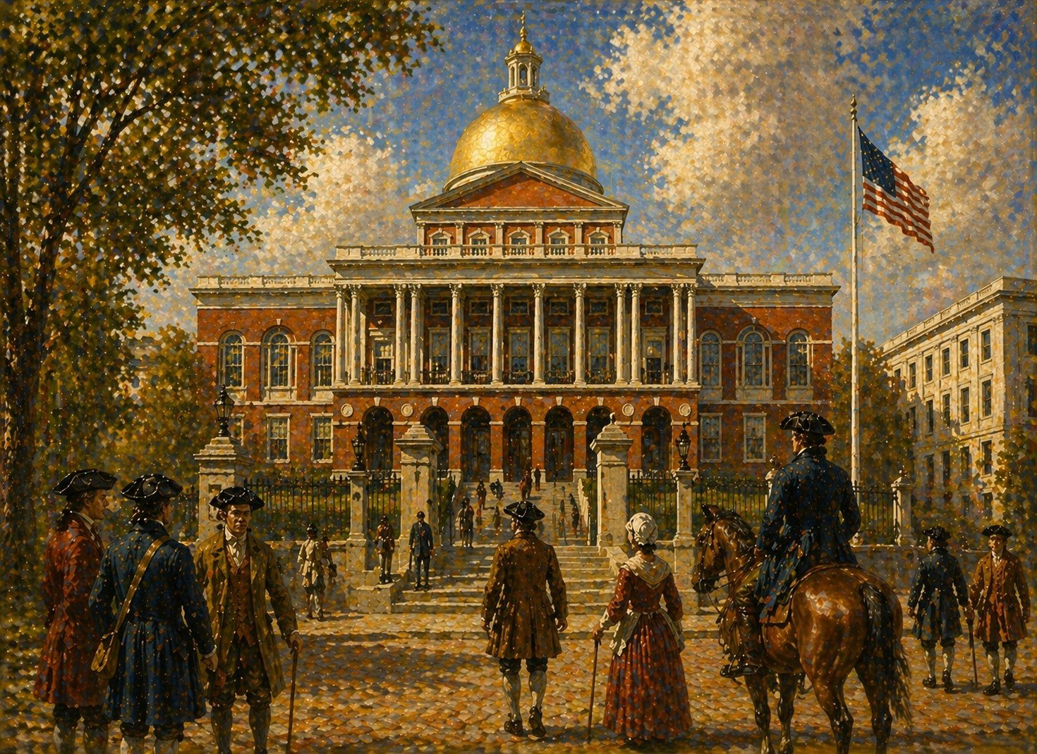
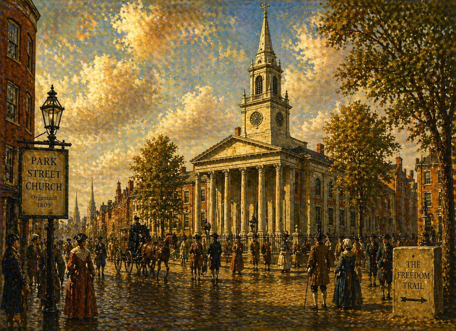
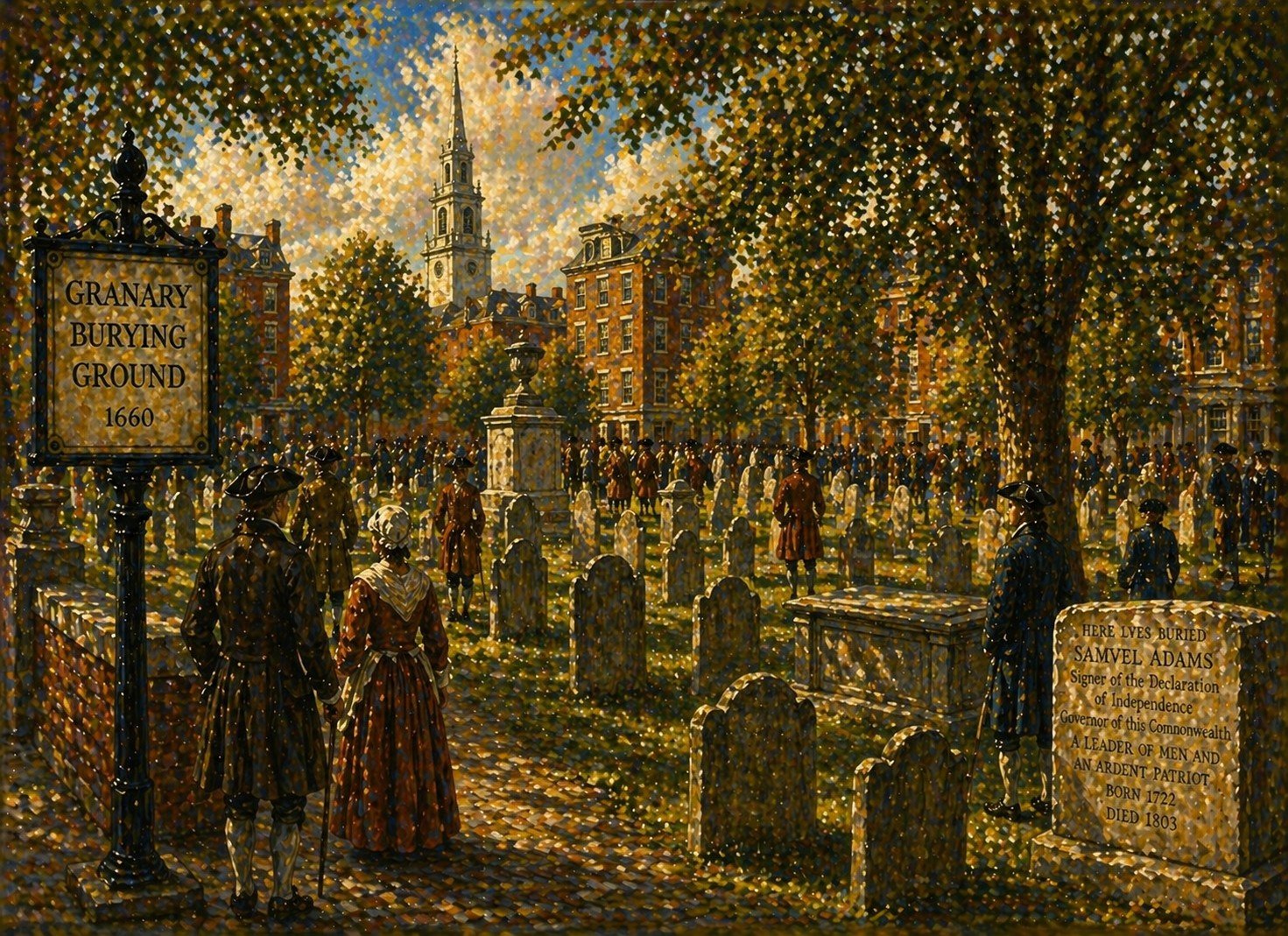
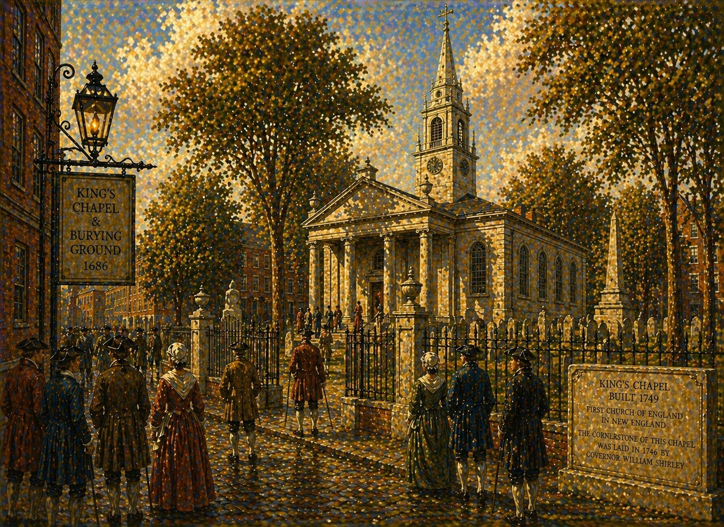
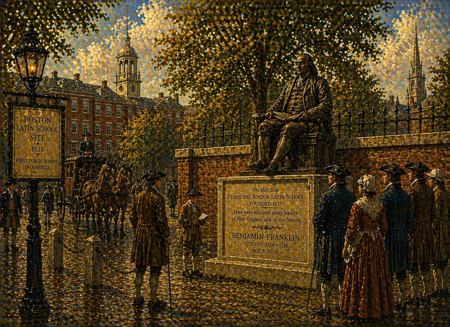
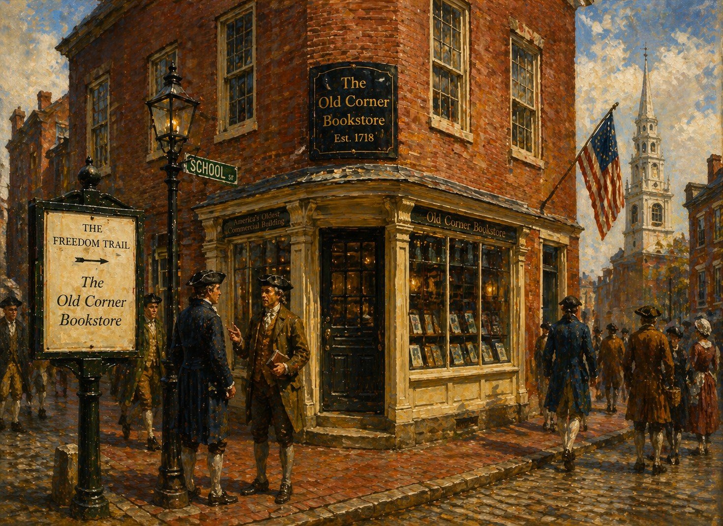
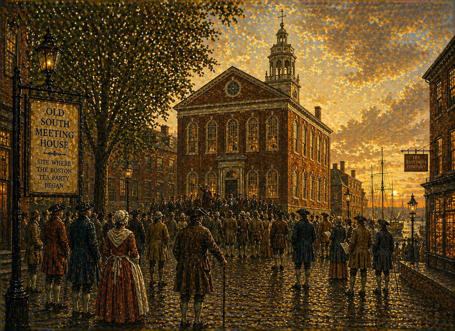
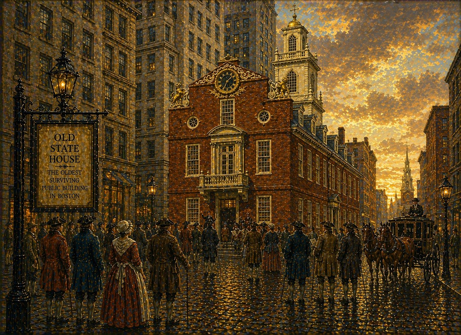
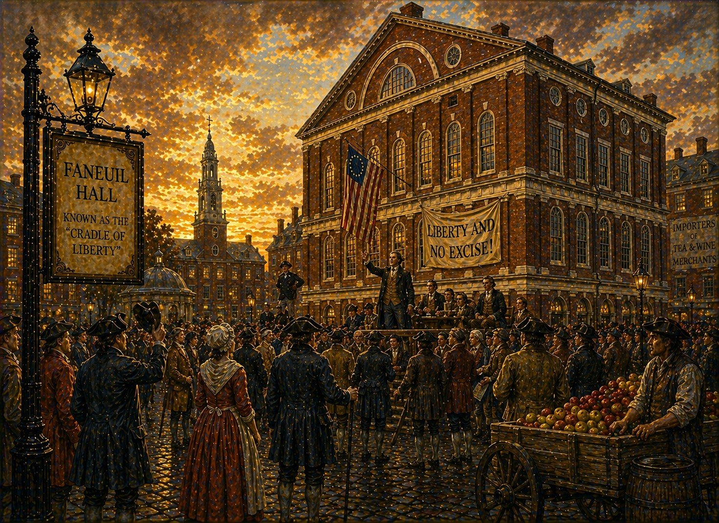
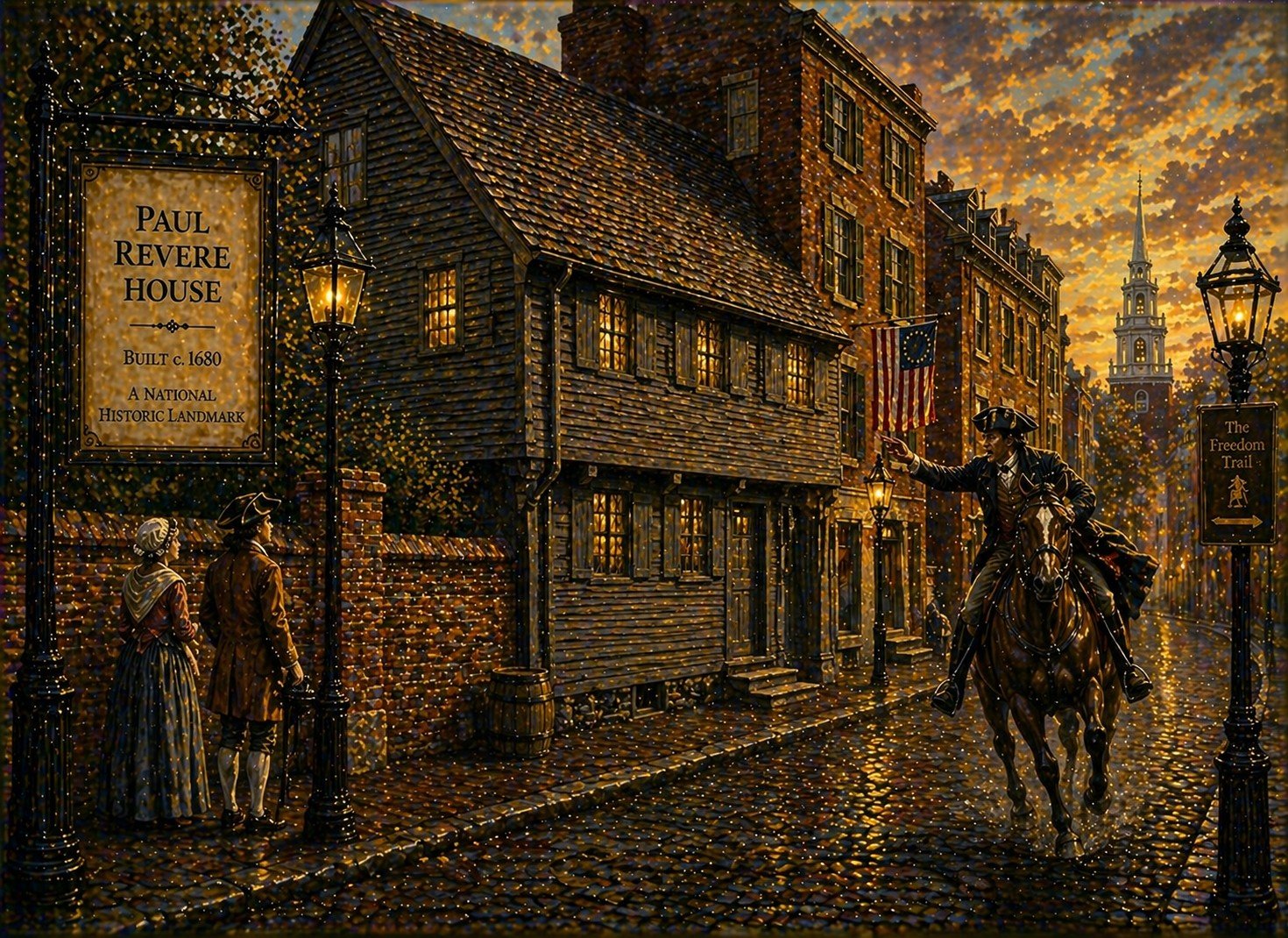
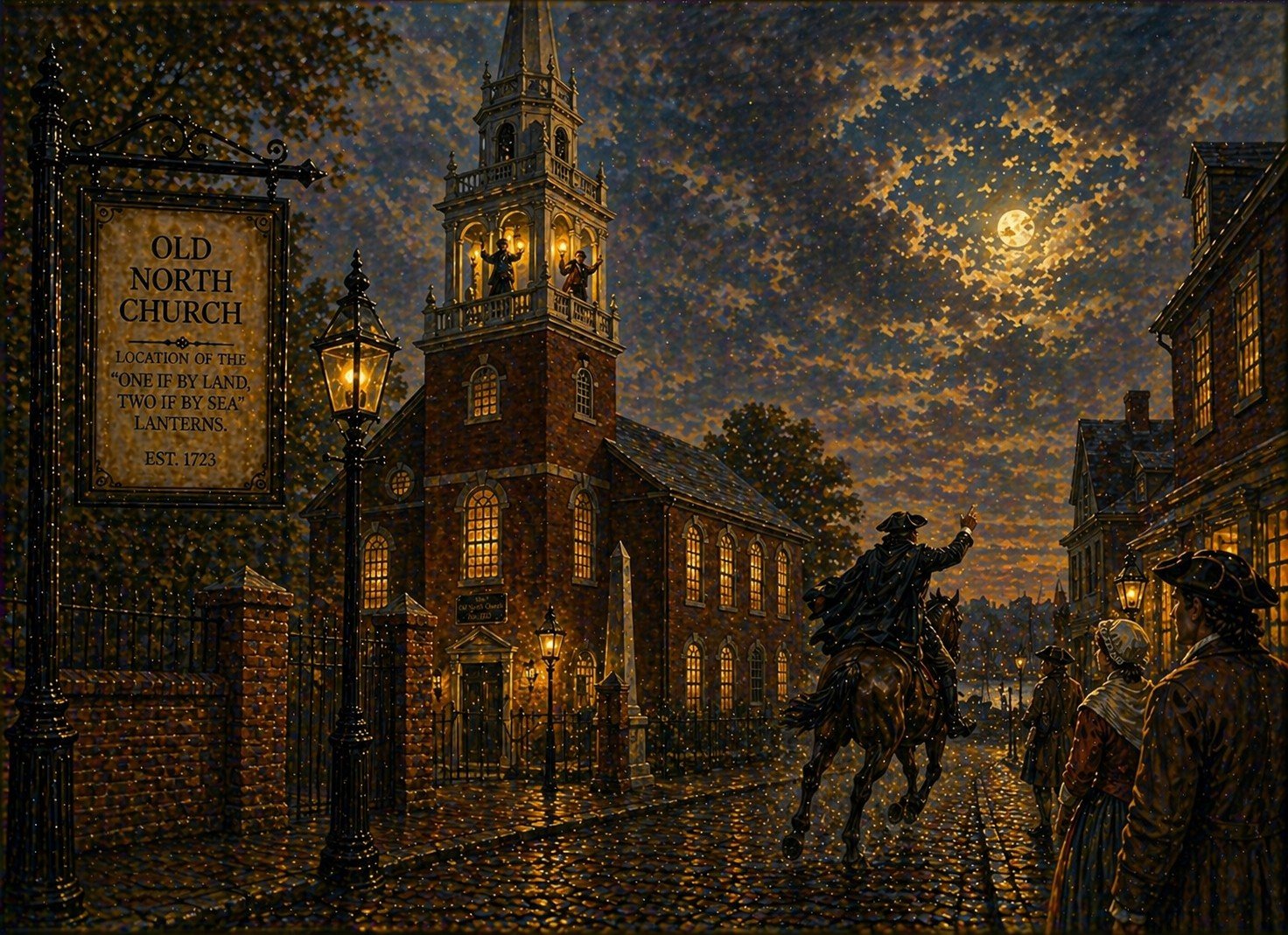
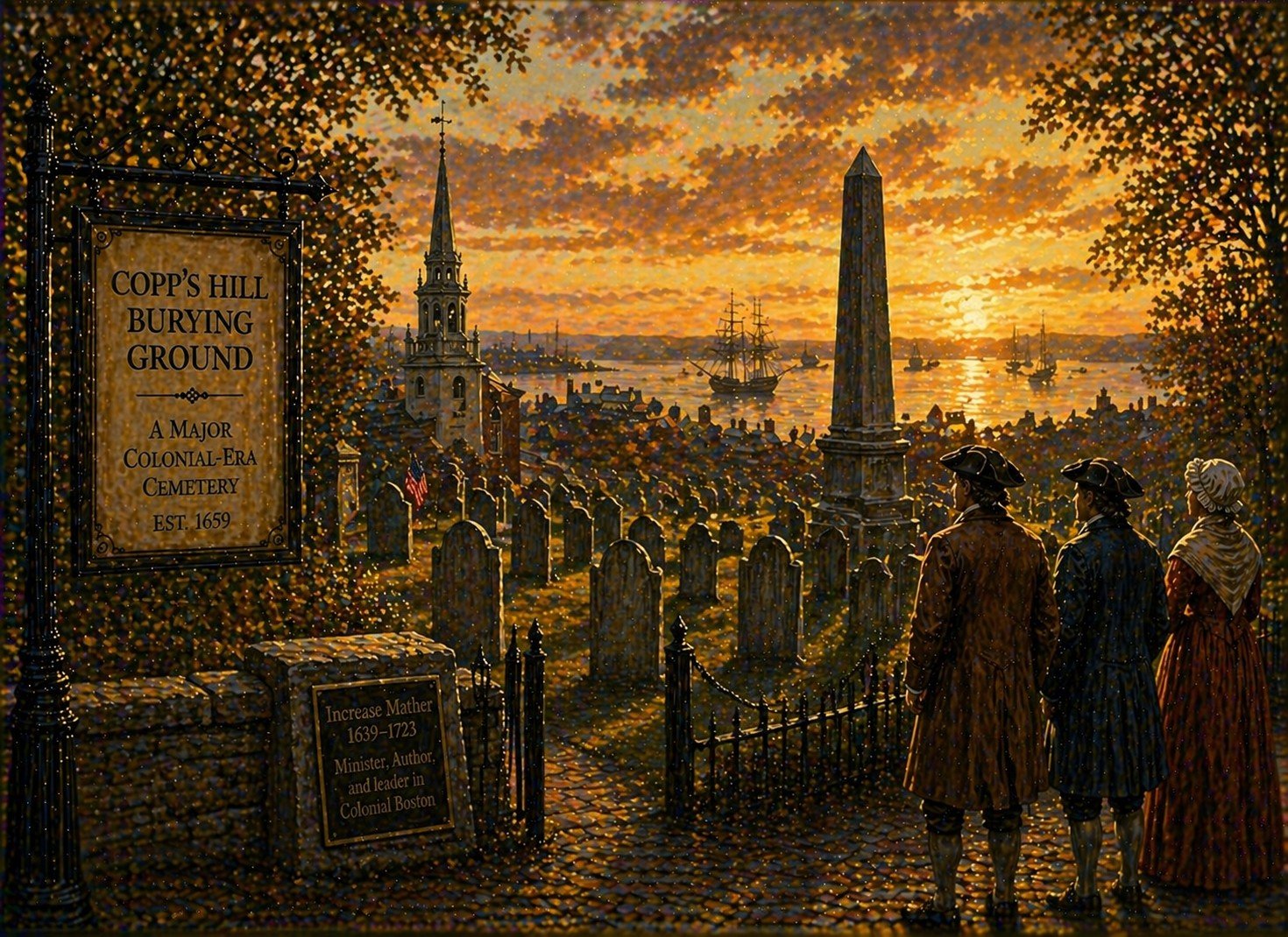
This map clearly marks each of the 16 official stops along the trail. These include political landmarks such as the Massachusetts State House and Old State House, as well as sites of public gathering like Faneuil Hall and the Old South Meeting House. It also highlights more personal or reflective locations, including the Paul Revere House and historic burial grounds such as the Granary Burying Ground. By placing all of these on a single visual plane, this map helps users understand how closely connected these sites are geographically, even though the events associated with them may span decades.
One of the most useful aspects of this Freedom Trail map is how it organizes space. Boston is an old city with a street layout that can feel confusing, especially for first-time visitors. The map simplifies this complexity by focusing only on what is essential to the trail. Major streets, intersections, and landmarks are typically labeled, but unnecessary detail is minimized. This clarity allows visitors to navigate confidently without becoming overwhelmed.
This Map also often include estimated walking times or distances between stops, which can be extremely helpful when planning a visit. For example, the early portion of the trail, from Boston Common through downtown, is relatively dense, with many stops close together. In contrast, the final section leading to Charlestown involves a longer walk and a river crossing. Seeing this layout visually allows visitors to anticipate where they may need breaks, how long each segment might take, and whether they want to complete the entire route in one go or split it into multiple visits.
This map also plays a psychological role in shaping the experience of the Freedom Trail. By presenting the route as a continuous line, it encourages visitors to think of their journey as a progression rather than a series of disconnected stops. This reinforces the narrative aspect of the trail, where each location builds on the previous one, leading toward a deeper understanding of the causes and consequences of the American Revolution.
This map of the Freedom Trail is both practical and interpretive. It helps visitors find their way through Boston, but it also frames the historical experience, guiding attention and shaping expectations. Whether used as a quick reference or studied in detail, it is an essential companion for anyone seeking to explore the city’s past. By following the red line on the map, visitors are not just navigating streets, they are tracing the path of history itself, moving through the spaces where ideas were debated, conflicts unfolded, and a nation was born.